Zoom Earth is your go-to interactive weather map and real-time hurricane tracker, providing a comprehensive suite of tools to keep you informed about global weather conditions. Whether you're tracking hurricanes, typhoons, or tropical cyclones, Zoom Earth offers an array of features to help you stay ahead of the storm.
Key Features
Satellite Imagery: Get a near real-time view of weather patterns with satellite imagery sourced from NOAA GOES, JMA Himawari, EUMETSAT Meteosat, and NASA's Aqua and Terra polar-orbiting satellites.
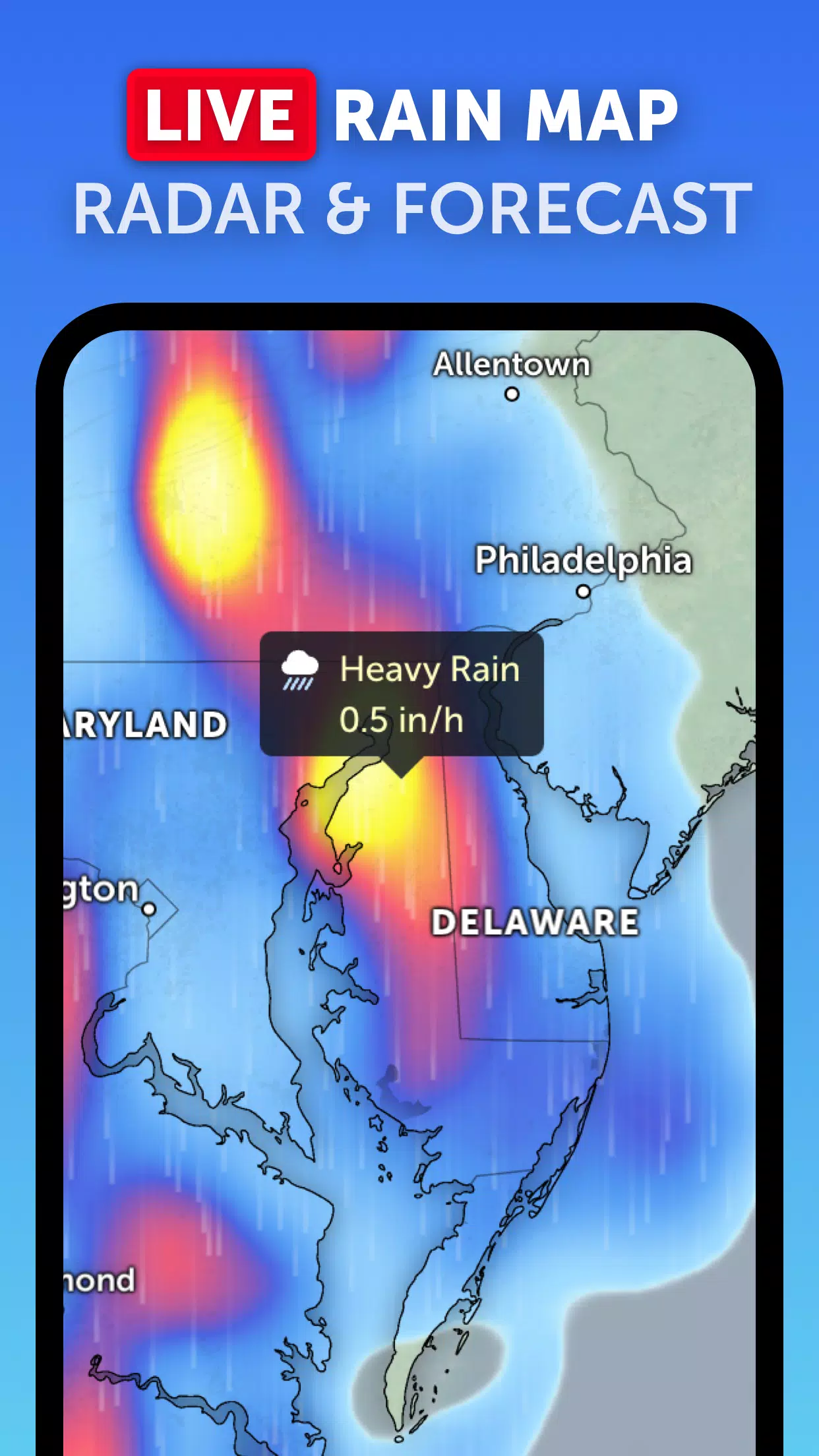
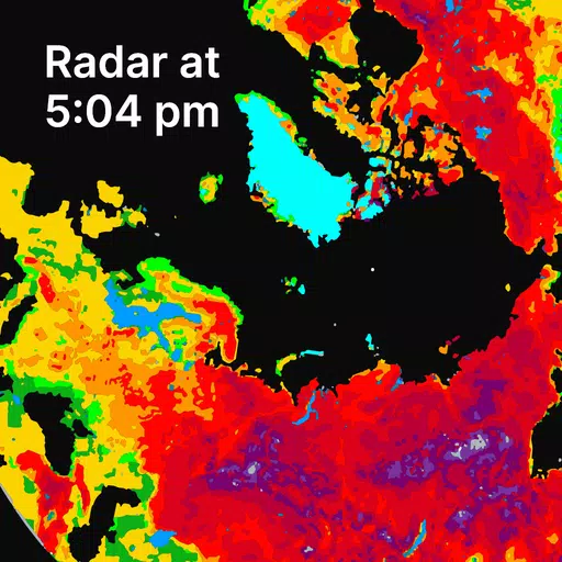
Rain Radar: Our weather radar map provides real-time detection of rain and snow, using data from ground-based doppler radar to keep you updated on incoming storms.
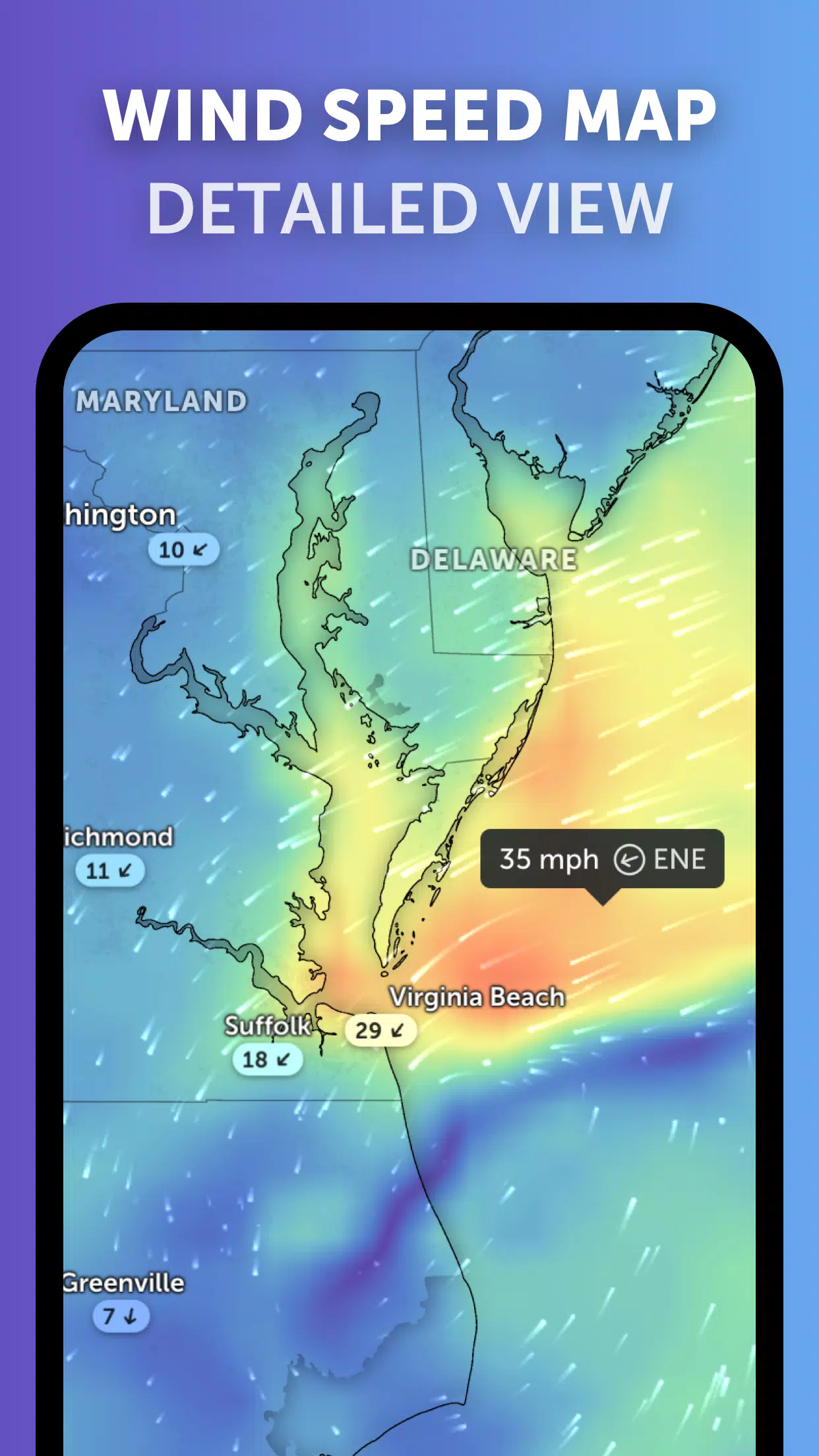
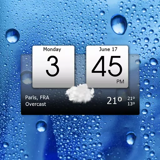
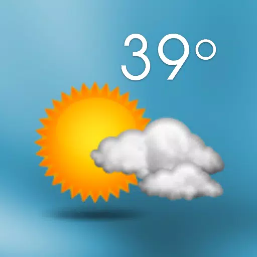
Weather Forecast Maps: Dive into visually stunning, interactive global forecast maps that showcase precipitation, wind speed and gusts, temperature, "feels like" temperature, relative humidity, dew point, and atmospheric pressure forecasts.
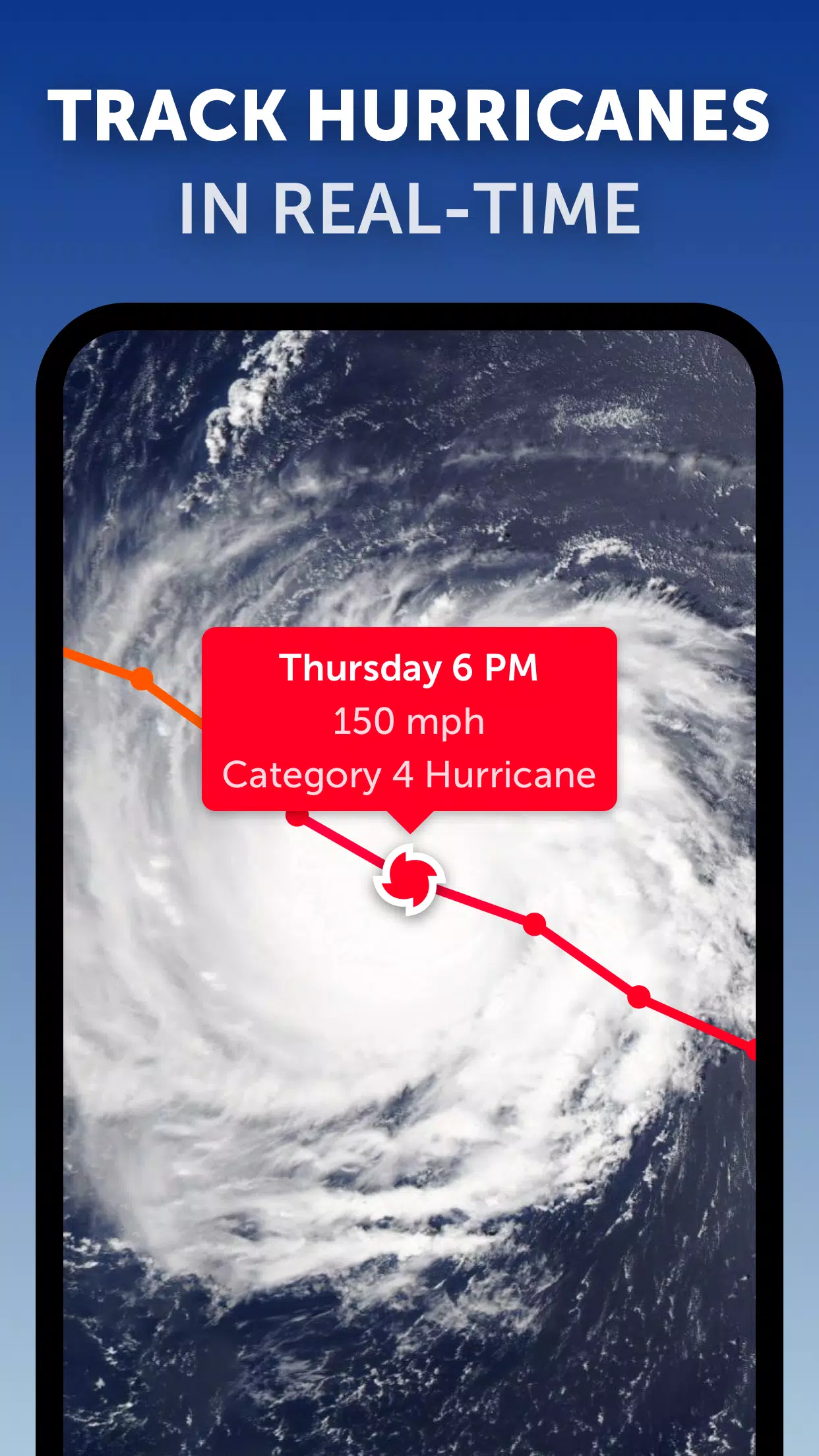
Hurricane Tracking: Stay on top of hurricanes from their initial development to category 5 status with our advanced tropical tracking system, powered by the latest data from NHC, JTWC, NRL, and IBTrACS.
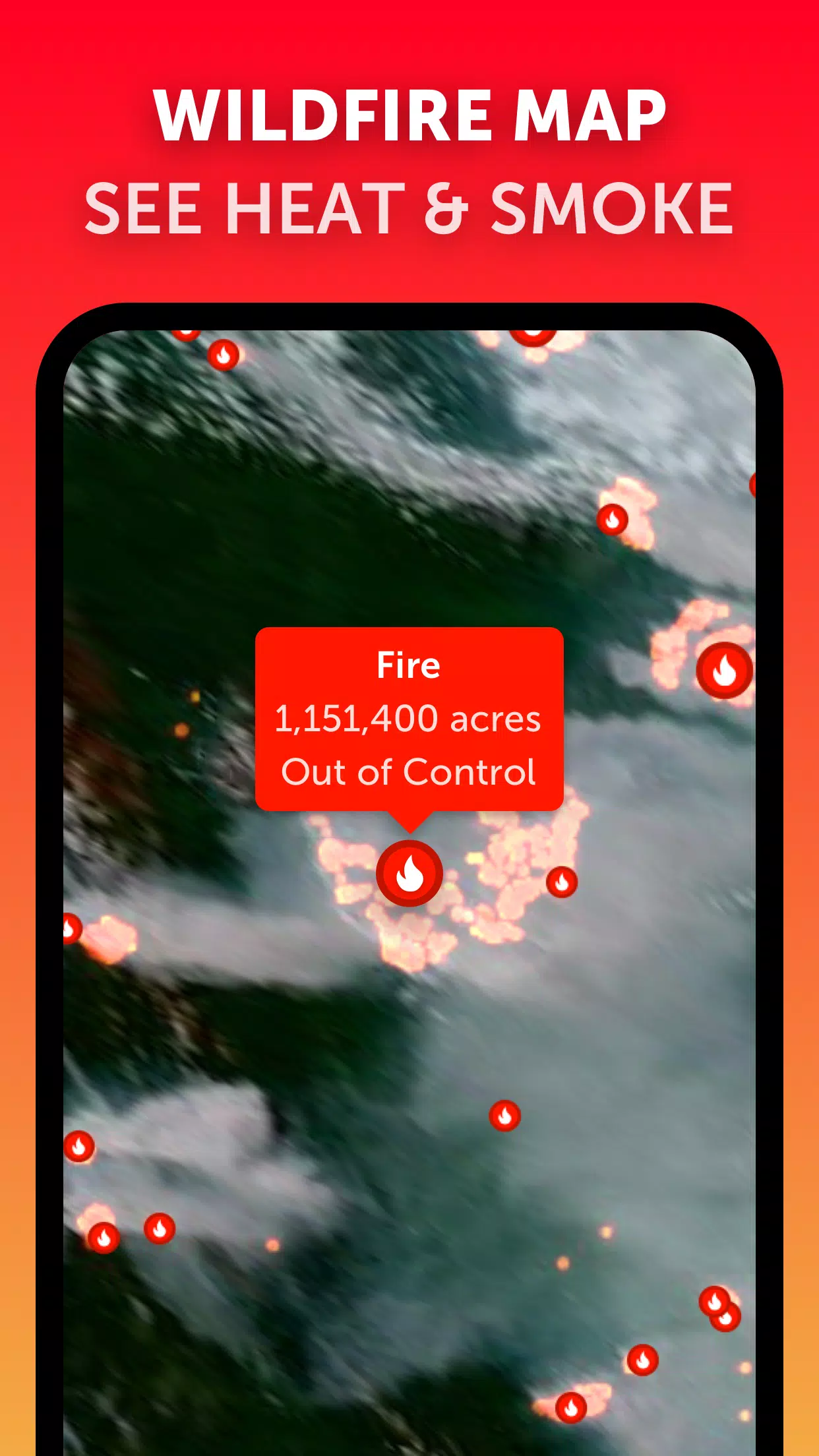
Wildfire Tracking: Keep an eye on wildfires with our active fires and heat spots overlay, which updates daily with high-temperature data from NASA FIRMS.
Customization: Tailor your experience with settings to adjust temperature and wind units, time zones, animation styles, and more.
What's New in Version 3.1
Last updated on Sep 19, 2024
- Enhanced user experience by reducing clutter when viewing multiple tropical systems.
- Introduced separate alerts for Atlantic and Eastern Pacific systems.
- Improved map labels for clearer and more precise information.
With Zoom Earth, you'll have all the tools you need to track hurricanes, typhoons, and tropical cyclones in real-time, ensuring you're always prepared for what the weather brings.