Are you ready? Jacksonville, FL's JaxReady is your essential tool for preparing and responding to natural disasters. Brought to you by the Emergency Preparedness Division and Information Technologies Division of the City of Jacksonville, Florida, JaxReady equips you with the resources needed to monitor weather threats and plan evacuations effectively. This platform offers real-time access to current threat levels, detailed weather reports, and critical wildfire updates, along with up-to-the-minute news feeds tailored for emergency preparedness and evacuation procedures.
Features
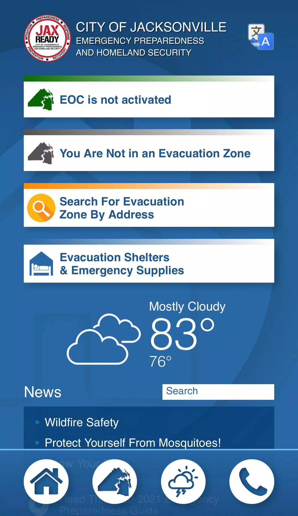
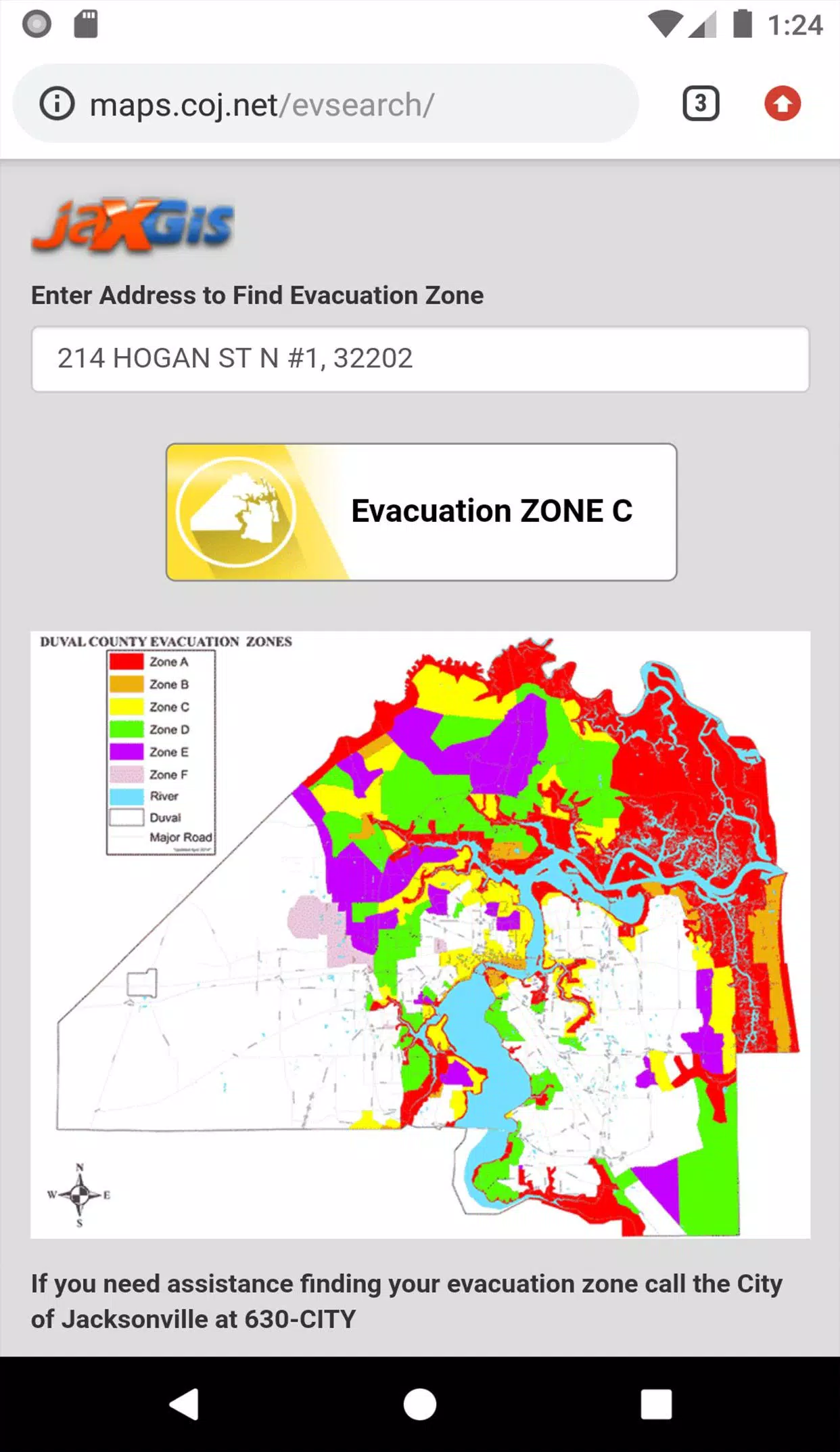
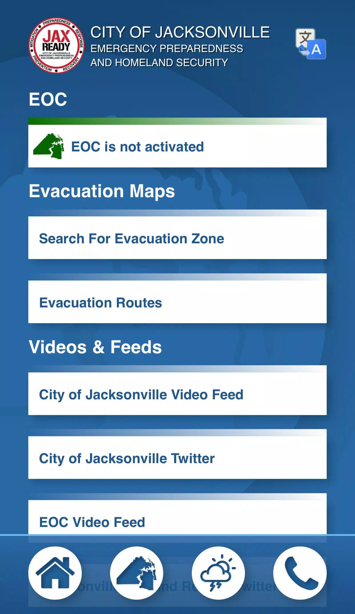
- GPS Functionality: Easily locate your designated Evacuation Zone with precise GPS technology.
- Real-Time Alerts: Stay informed with the current Emergency Operations Center (EOC) Activation Level, Weather Threat Level, and Fire Danger Index, all tailored to your specific geolocation.
- Special Needs Support: Access links for special needs registration, ensuring those with medical requirements are catered to during an evacuation.
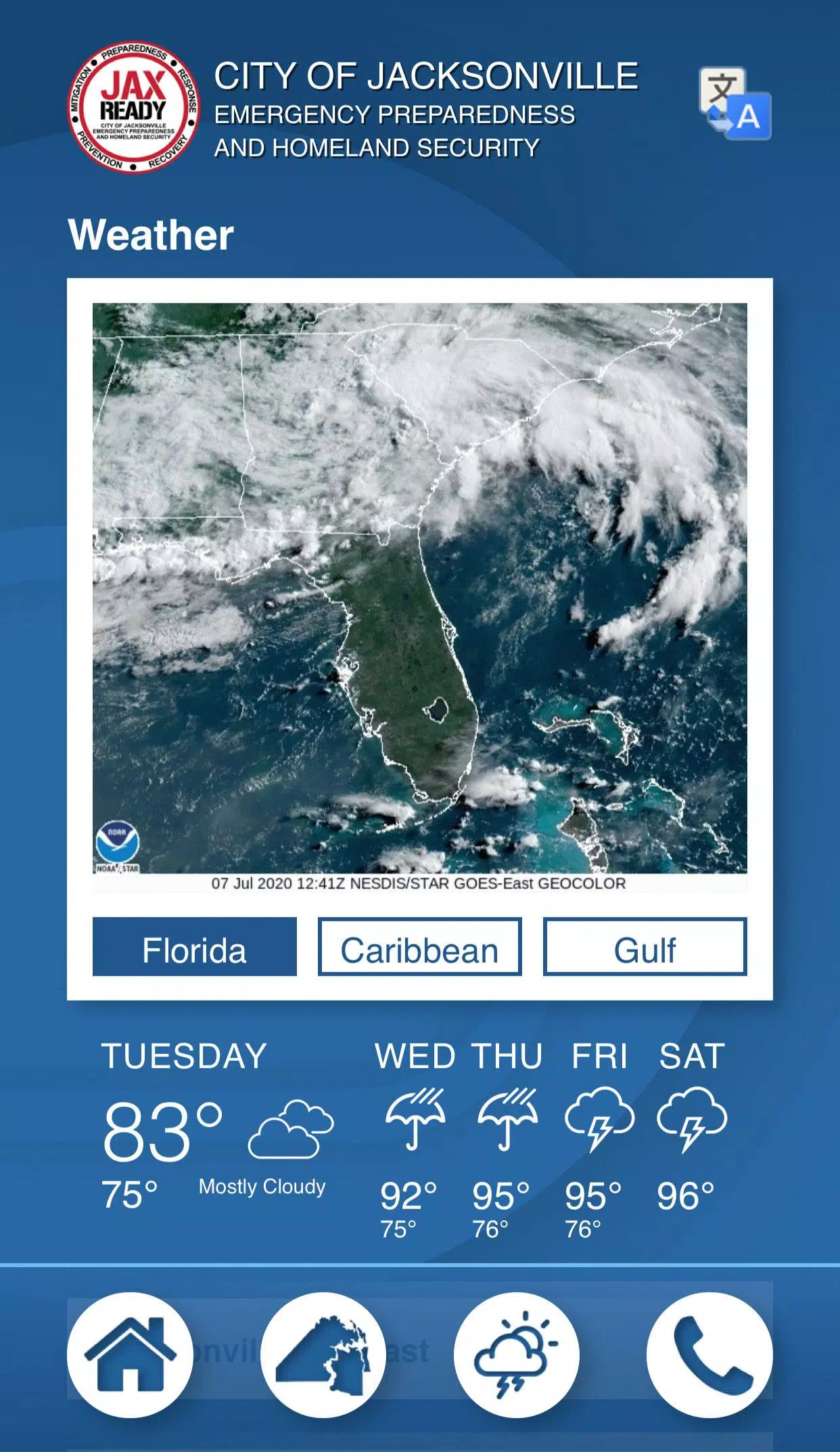
- Comprehensive News: Keep up with the latest weather and fire news to stay ahead of potential threats.
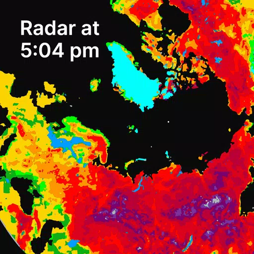
- Detailed Maps: Utilize weather, wildfire, and drought index maps for a visual understanding of the situation in your area.
With JaxReady, you're not just preparing for a disaster; you're staying one step ahead. Whether it's monitoring the latest weather conditions or understanding your evacuation plan, JaxReady ensures you have the information you need when you need it most.