The definitive HEMAV app revolutionizes field monitoring directly from your mobile device. This powerful tool integrates seamlessly with HEMAV LAYERS, leveraging cutting-edge Artificial Intelligence combined with drone and satellite technology to deliver comprehensive agronomic insights and recommendations.
With the HEMAV app, you gain the ability to:
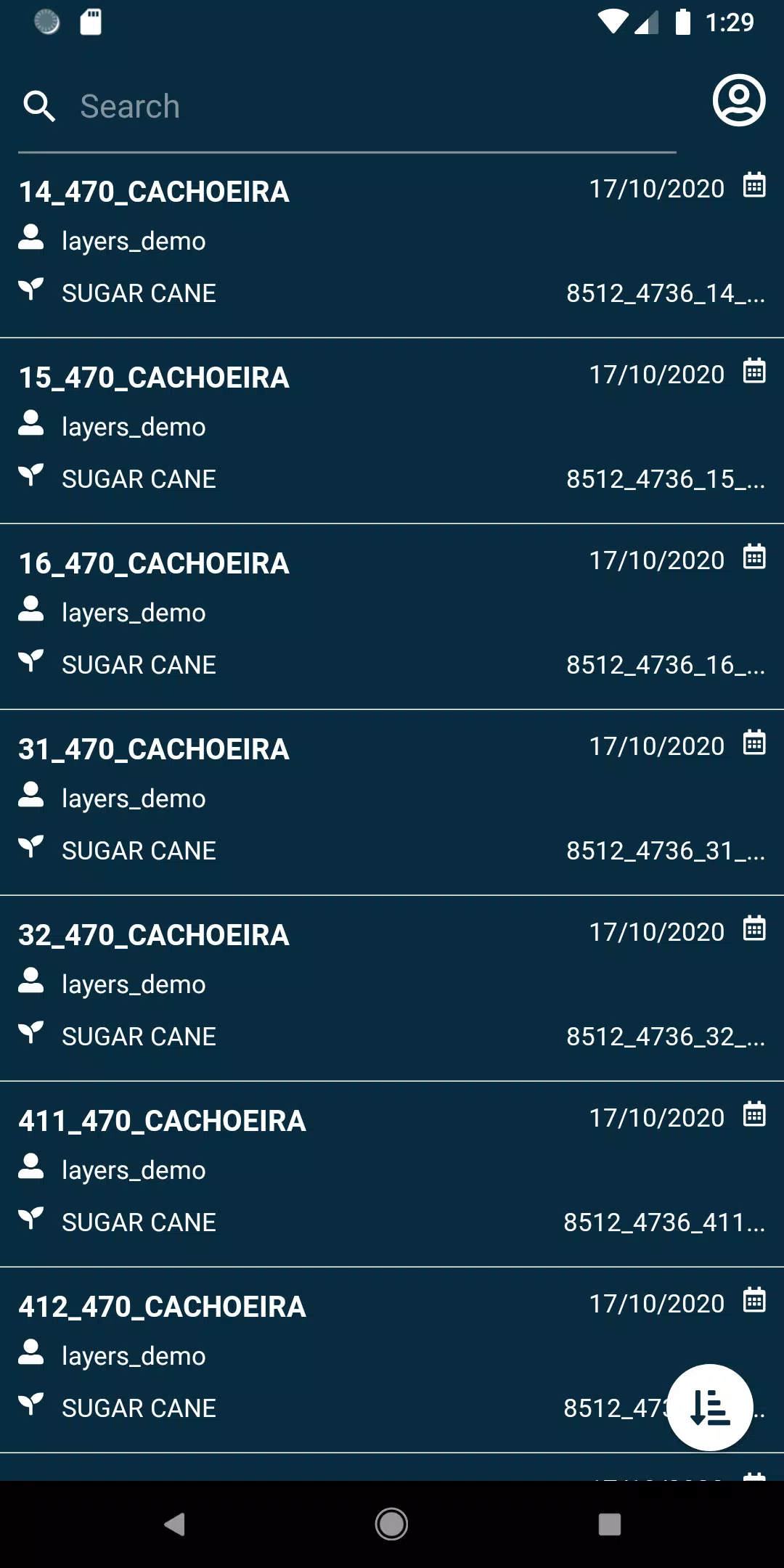
- View your fields with ease.
- Search through your fields using a variety of filters to pinpoint exactly what you need.
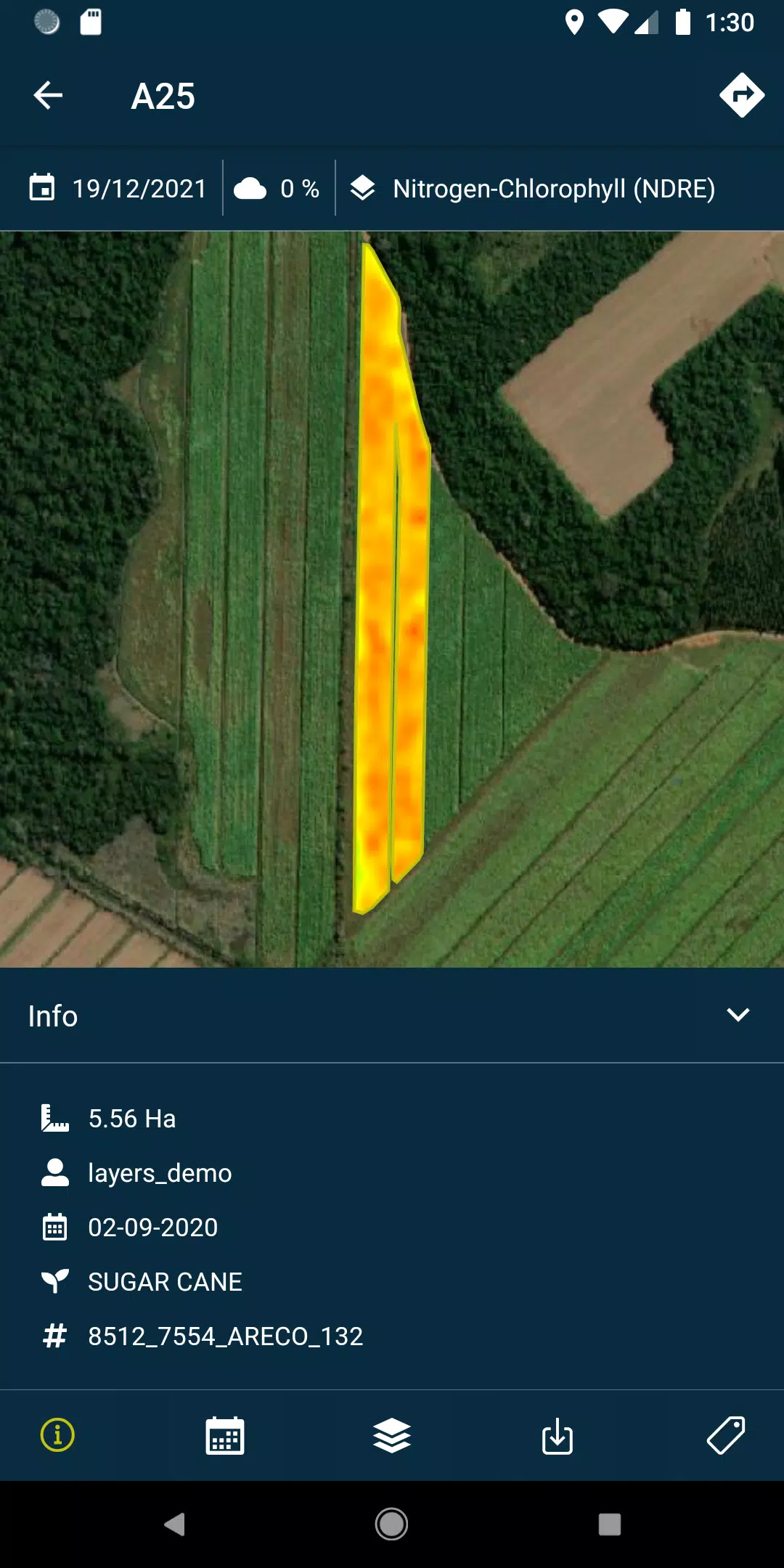
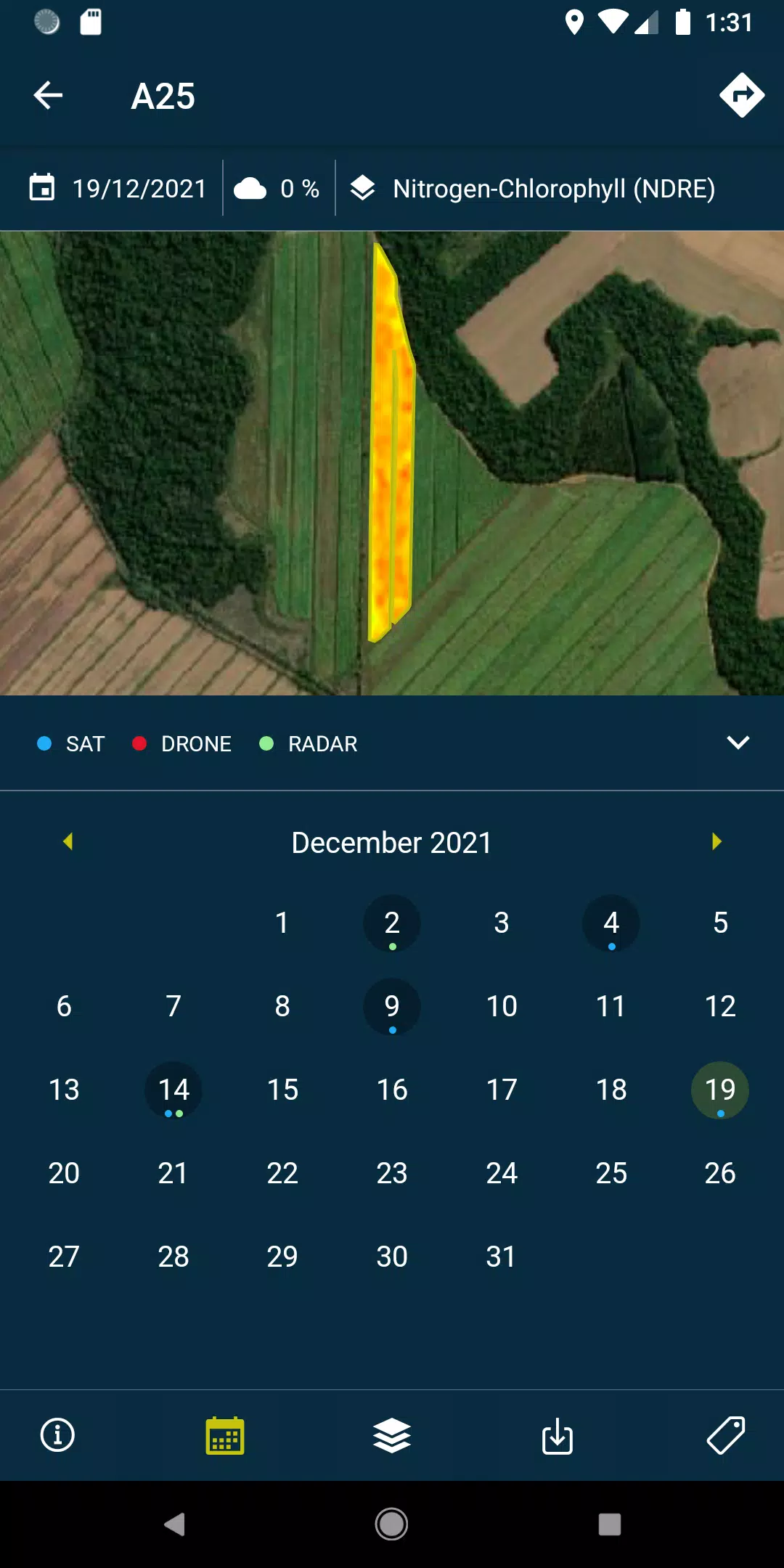
- Access layers, including detailed reports and recommendations, as well as PDF documents generated from each field's drone and satellite flights, both online and offline.
- Capture and geolocate field photos, enhancing your control with the option to add comments for thorough documentation.
- Conduct field surveys and integrate them into the HEMAV system for further analysis and processing.
To unlock the full potential of the HEMAV app, a subscription to HEMAV products is required.
About HEMAV Precision Agriculture Service
HEMAV's LAYERS software harnesses the power of Artificial Intelligence to provide the agricultural sector with precise agronomic recommendations. These insights help optimize treatments, boost efficiency, and generate accurate crop production estimates, focusing on both production volume and quality.
What's New in Version 2.8.5
Last updated on Oct 19, 2024, this version includes crucial bug fixes, notably addressing pending sample uploads and enhancing the cloud coverage filtering for improved performance.