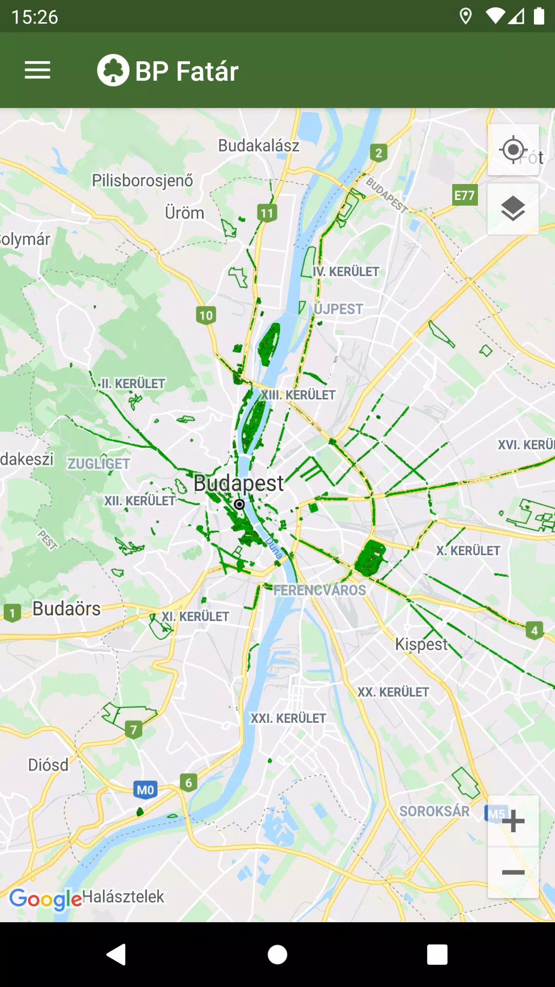
The official tree and park cadastral application of the MAIN GARDEN is designed to enhance your interaction with urban green spaces. With the BP Fatár application, you can explore the public tree and park cadastre of FőKERT, as well as additional cadastres from various district municipalities including I., VI., X., XI., XIII, XIV., and XVIII.
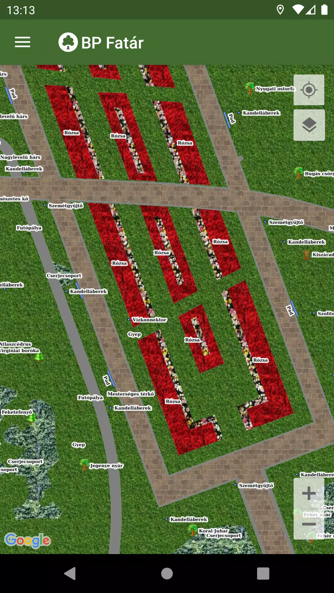
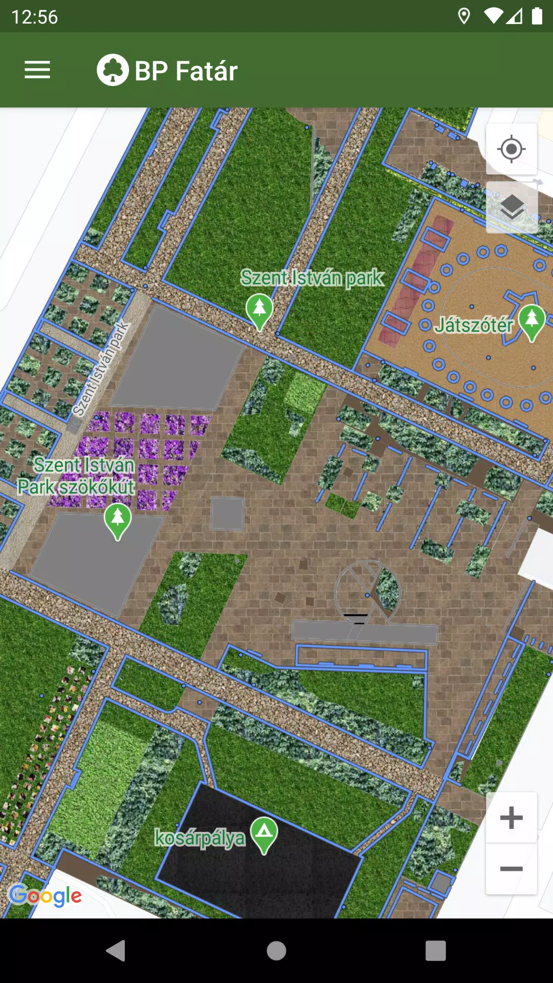
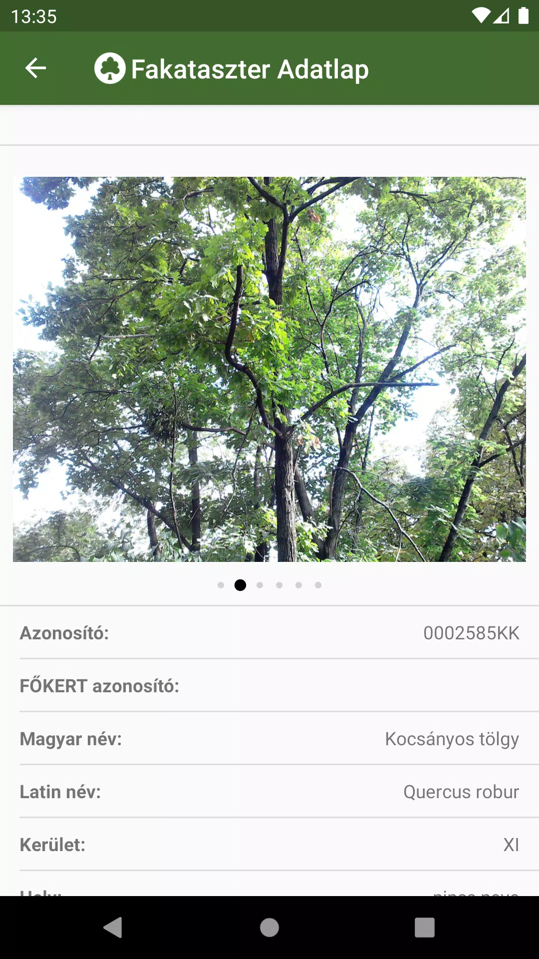
To explore these green assets, simply navigate the map to your area of interest and click on the points, lines, or surfaces that represent the cadastral elements. This action will open a detailed data sheet where you can access information about the selected element and view associated photos.
To aid your navigation, the application features an advanced search engine:
- Use the tree scanner to search by tree species, using either Hungarian or Latin names.
- Search through the park cadastre by categories organized into groups.
Both search options will display the locations of all matching cadastral elements directly on the map, making it easy to find what you're looking for.
Additionally, if you encounter any issues such as a damaged tree or bench, you can report these directly to the data manager's employees through the application. Simply click the "Error report" button on the data sheet of the affected element to initiate the process.
What's New in the Latest Version 1.5.2
Last updated on Oct 20, 2024
Bug fixes have been implemented to improve the overall performance and reliability of the application.